Project Description
Godrej Reserve
A Plotted Township
Project Area : 102 Acres
Concept Note
Sustainable Landscape planning
Project Plant palette: 320 plus plant species
Tree Count: 30,000
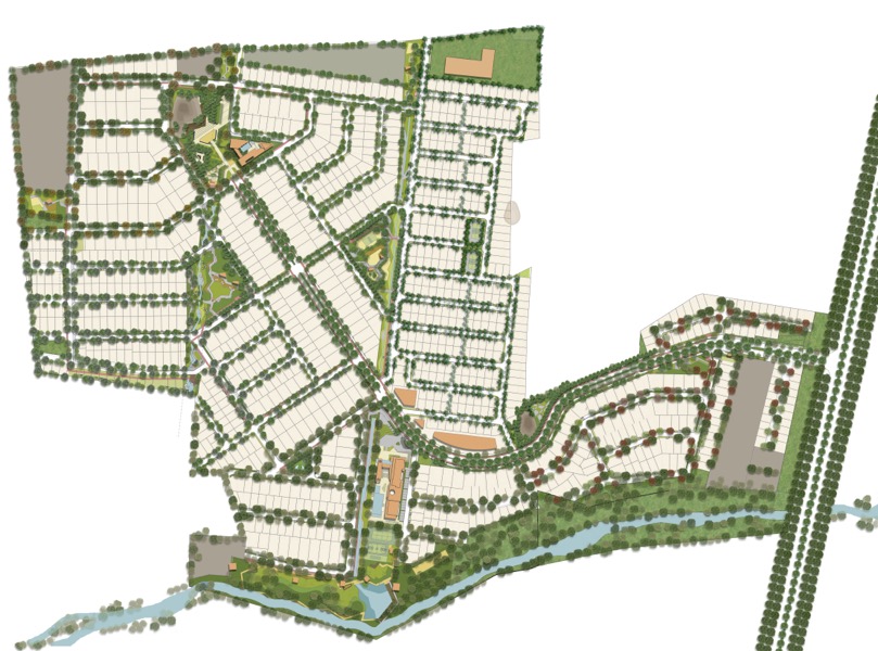
The Master planning process identifies the existing site features inscribing them within the designated open spaces with an intent to preserve them. Street Planning framework has emerged with the thorough understanding of the landform and the gradient. Roads run parallel to the gradient keeping the land cut/fill at its minimal also helps in retaining the top-soil of the plotted units.
The response to the environment and rainwater conveyance has been the generator of the landscape planning & landscape design detailing.
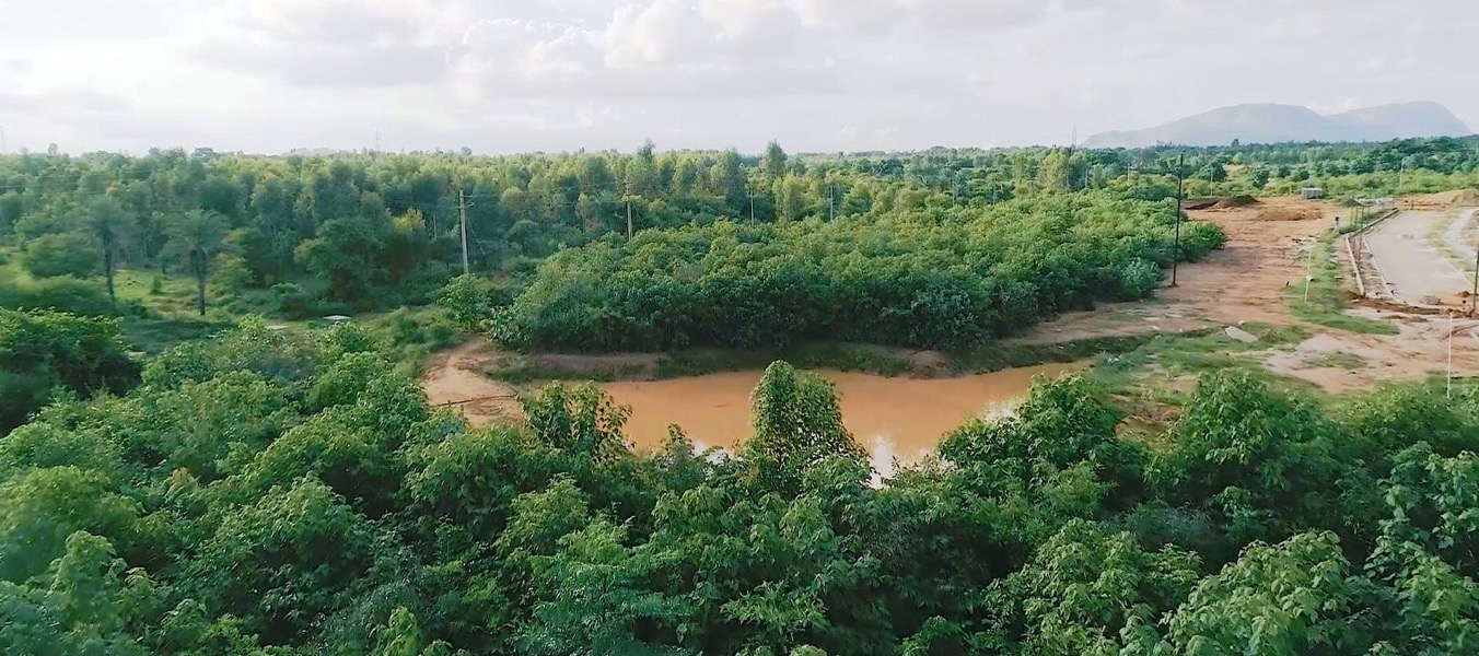
Two linear Parks run along a series of percolation ponds and a connecting bio-swale system. This gently sloping ecological device detains, cleans, filters and infiltrates part of the run-off water from parks as well as streets and release it into a large harvesting pond at the western end and finally into the existing natural stream. Multiple rainwater recharge chambers and recharge wells are located along this system.
Most of the Streets are designed with Low Impact Development (LID)guidelines. Surface drains replaced the underground pipe-chamber system. Streets are integrated with pathways, tree pits, rain planters and pervious pavers
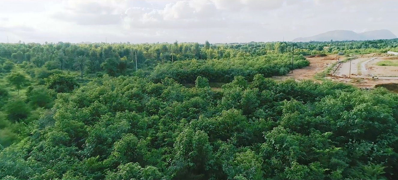
A Forest buffer (6.5 acres) is planned along the stream edge at the West. It acts like a sponge and holds a large amount of surface water within also checks the soil erosion. It is densely planted on Miyawaki principles, with all the three tiers of vegetation. The plant palette is a mix of native cultivated and wild species. It has created significant changes in the microclimate within the soil and also in the vicinity. It has become a habitat for birds and small animals
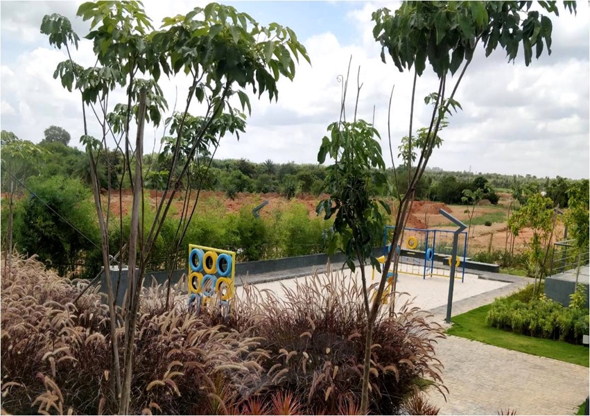
Plant palette in parks comprises of indigenous and naturalised species, a mix of evergreen shade giving, flowering deciduous, fruit and berries producing, nitrogen fixing species.

